This time we decided to go a bit further afield to test ourselves. Instead of pedaling out our front door and riding our tried and true bike trail, we drove to Mill Valley, just north of San Francisco to cycle a loop around Marin County. We planned to do this route, which was reportedly 55 miles and about 3500 feet of climbing. That’s a lot of climbing for us flatlanders. (Although only 100 miles away from Sacramento, coastal California has a completely different terrain and climate.)
We couldn’t figure out how to download the Strava directions into our iPhones, so we printed out the turn-by-turn directions and downloaded waypoints onto our GPS. Turns out the turn-by-turn directions aren’t very good. They are cluttered with pointless or confusing instructions, directing you to turn right or left, even if it’s only a curve in the road, or telling you to “proceed” on a road when in fact you’re at a T-intersection. Meanwhile, the GPS waypoints don’t give very specific information. So we used the printed instructions to try to navigate and the GPS to help us know if we were still on course. (We’ll have to perfect our navigation skills before the real trip.)
We got an earlier start this time, leaving our parked car at approximately 11:30am. The beginning of the route took us through several small towns, with lots of turns, which kept us on our toes and meant quite a bit of backtracking or of puzzling out the directions. Finally, after the small town of Fairfax, we got out onto more open road. Just when we seemed to have gotten into a smooth cadence, it was decision time. We’d only gone 15 miles (of a planned 2-day loop of 55), but the best campground option in the area was a short detour of a few miles away.
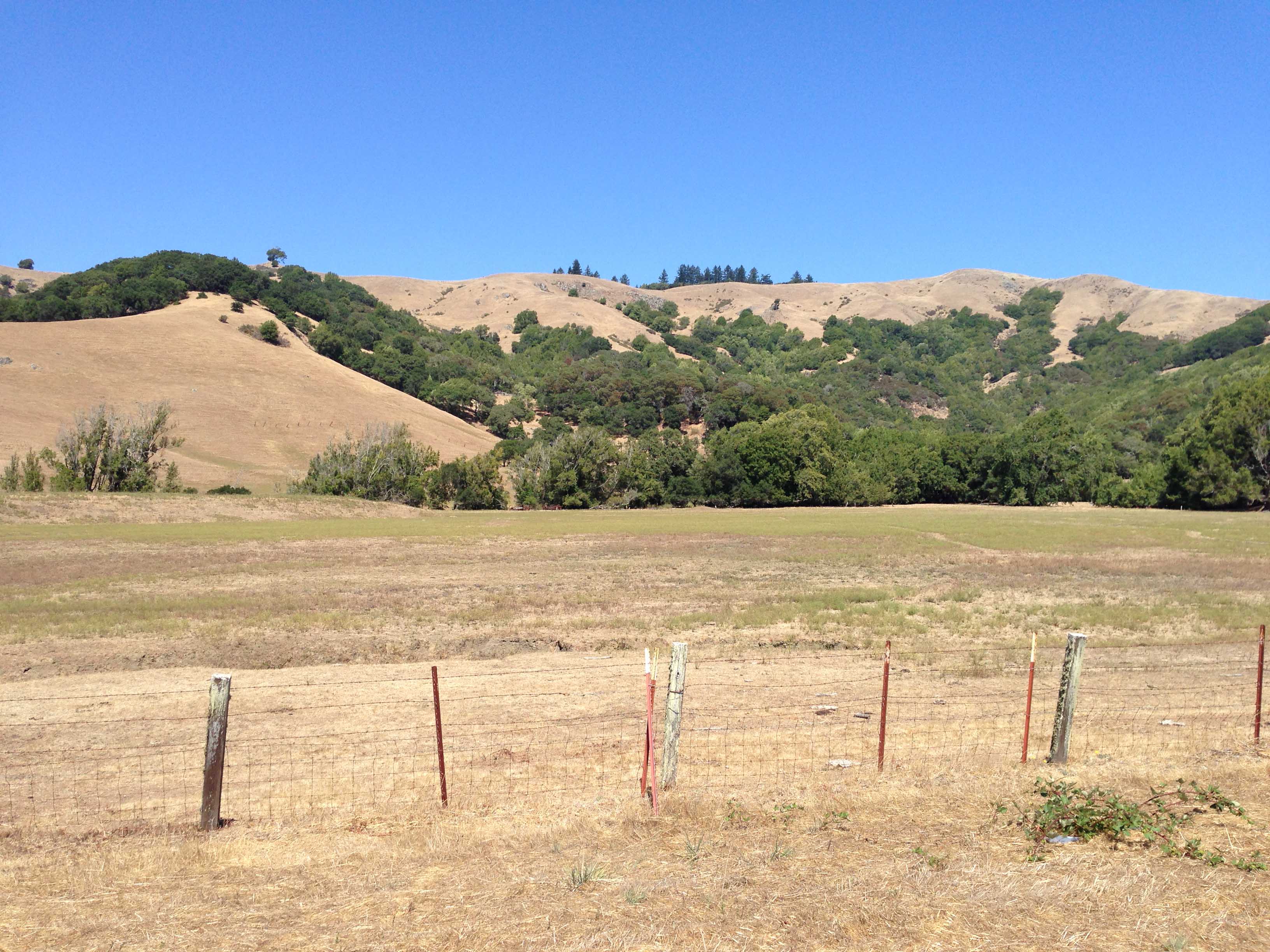
Julie wasn’t ready to stop. She was feeling strong and like we’d just gotten started. It wasn’t even 3:00pm and we were considering quitting? Mark was more inclined to go make camp, but he acquiesced. And so we continued along the intended route and started chugging up the hill towards the tiny outpost of a town called Nicasio and then around Nicasio Reservoir (a manmade lake), and finally up, down and around to the town of Point Reyes Station.
By then, it was approximately 5:00pm and we were knackered! We’d ridden just over 30 miles, fully loaded, up and down what felt like mountains. We spied a small, inviting park, and we…well, jumped is much too vigorous a word for it…we straggled at the chance to sit catatonic at a picnic table and rest for a bit before figuring out where we’d camp that night.
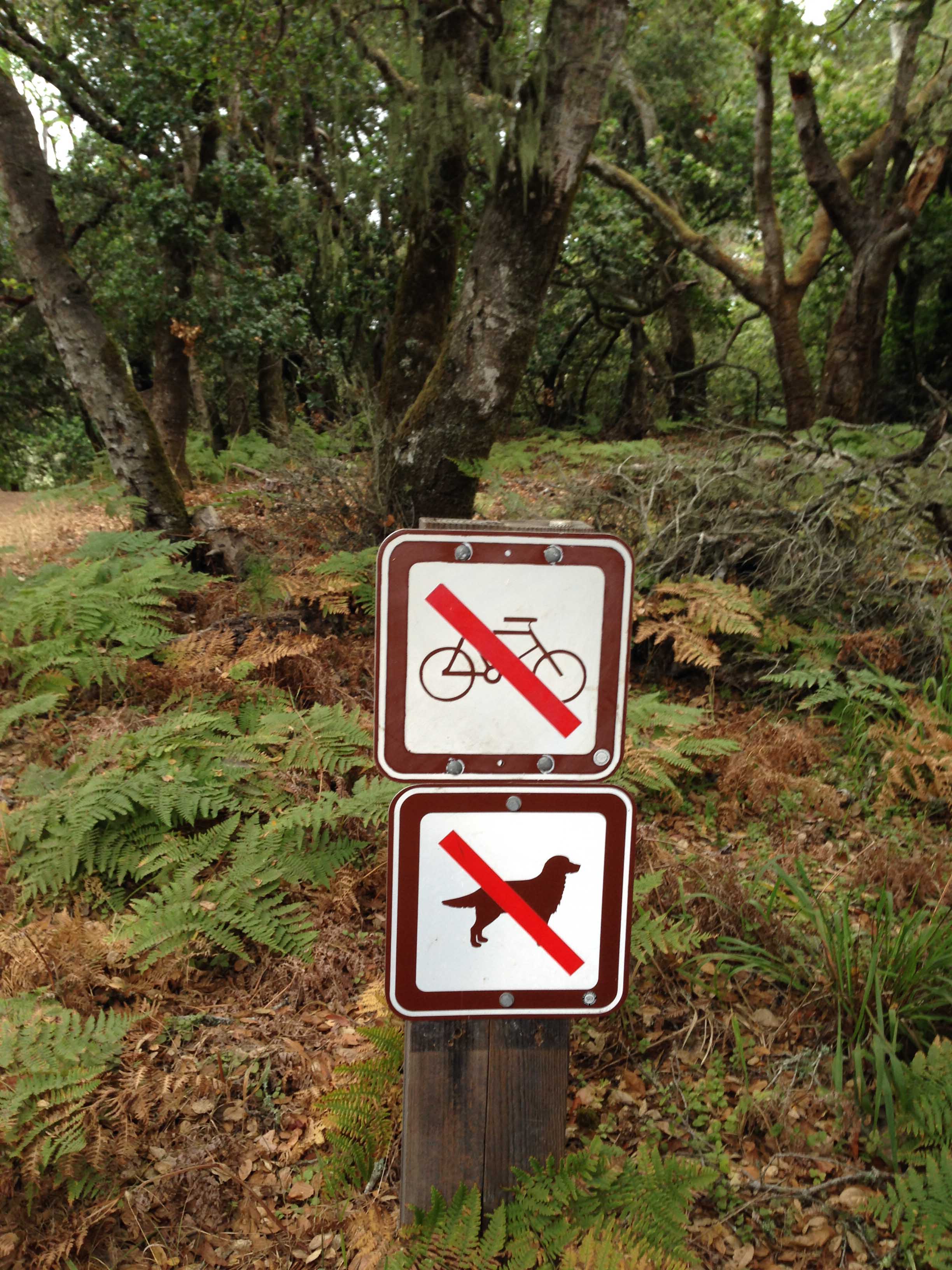
We were right near Point Reyes National Seashore, and we hoped to find a wild camp somewhere in there. But, not being experienced, we had no idea how to go about looking. So instead we just sat and devoured our snacks.
The park was right next door to Cowgirl Creamery, one of the most well-known cheesemakers in California. They create artisanal organic cheeses that are out of this world! Julie has dreamt of visiting them for years, and now we’d just stumbled into them. And they were open! But Julie said no, she was too tired. What??? Too Tired??? Isn’t Team Lumaca all about the experiences along the way? How could she possibly turn down a cheese tasting and tour, especially one she’s been wanting to do for years? But alas, she insisted that she only wanted to work out our accommodations for the night. Even as she said no, she realized she was violating the spirit of the tour, or at least what we told ourselves we want our tour in Europe to be: It’s not just about making miles, but about taking advantage of whatever opportunities befall us. And Julie had, in full awareness, just let one pass her by. Amazing what fatigue and lack of accommodations will do to the sense of adventure!
While sitting at the park, a couple approached and asked about our tour. Turns out they’ve cycle toured extensively, although they were visiting Pt. Reyes in a car this time. Mark asked if they could recommend a camp spot, and they mentioned a beach about 6 miles off our course, but warned us it would be illegal. With a gleam in his eye, Mark said that’s exactly what he was looking for!
And so we rode past Inverness to the top of a residential street that dead ends at a trailhead leading to several beaches along Tomales Bay, a narrow inlet of the Pacific Ocean.
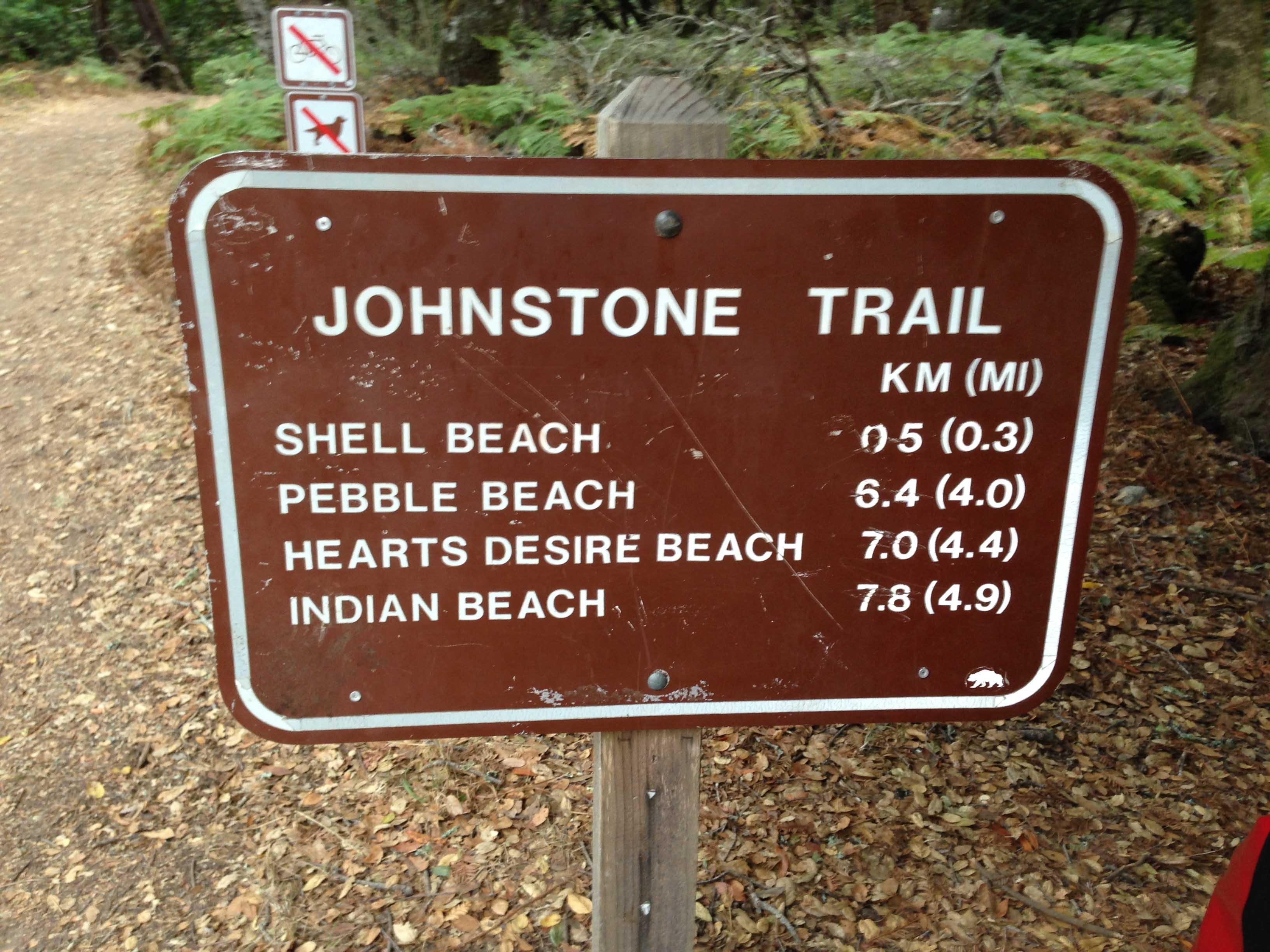
We walked our bikes down a steep dirt path about a third of a mile to a tiny beach. A couple on that beach suggested that the next beach over (just a few hundred feet away, but up and over another sandy hill) would be even more secluded and beautiful.
Whereas the first beach still had a few hikers and swimmers, the second beach was deserted.
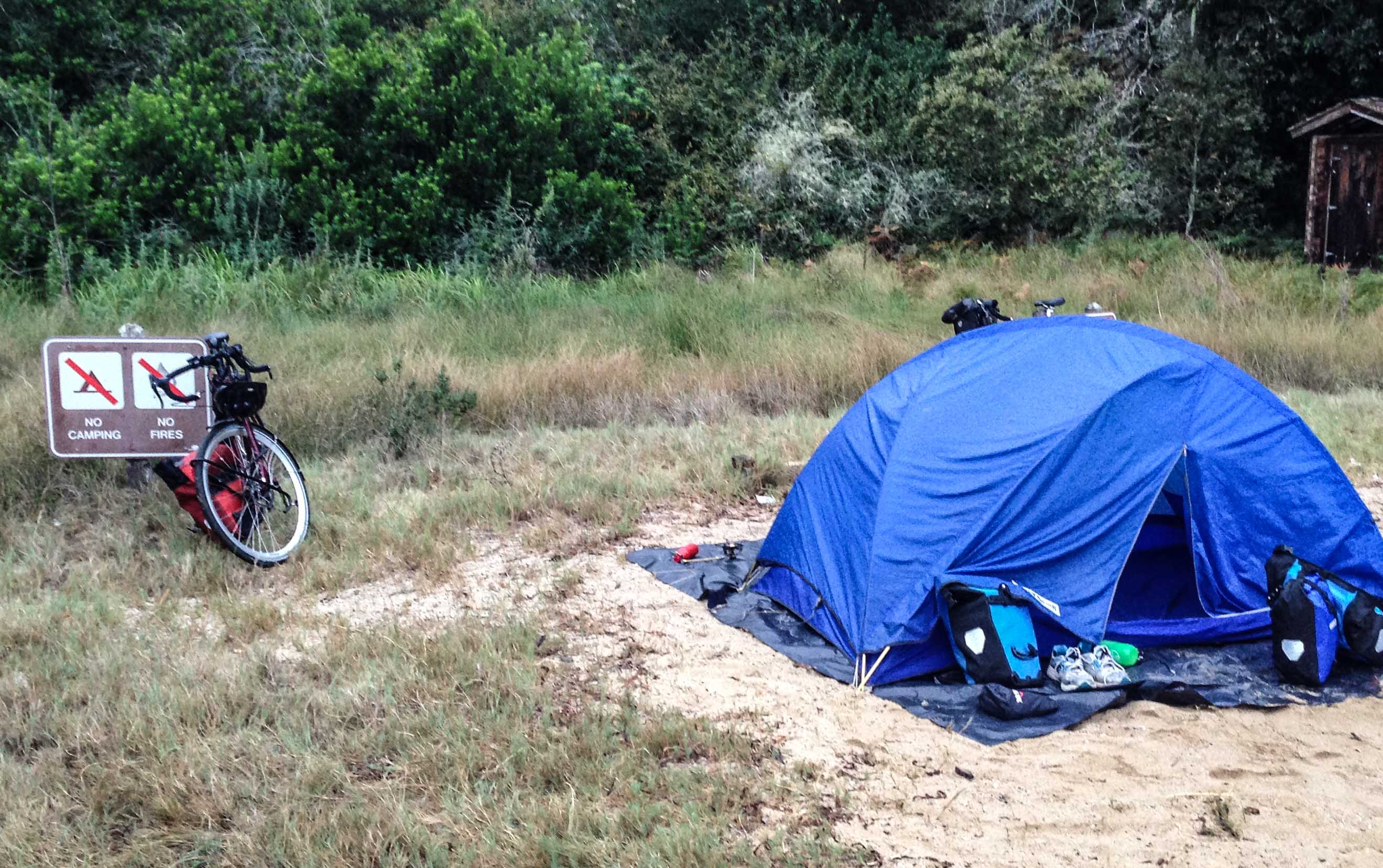
We set up our tent in the open in the hopes that no park ranger would kick us out in the middle of the night. We fell asleep to the sound of the lapping waves. Mark slept like a baby, but Julie – the insomniac – slept more fitfully, constantly worried that somebody would catch them in the illegal camp. At one point, she woke up with a start and sat bolt upright, certain that she’d heard somebody poking around in the panniers we’d strewn outside our tent door. She calmed herself down and told herself she was just being crazy and went fitfully back to sleep.