May 24, 2016:
We awoke early behind the church in Aumont-en-Halatte to a cold, grey morning. As we were trying to be discreet, we didn’t cook up breakfast in camp but decided to eat en route.
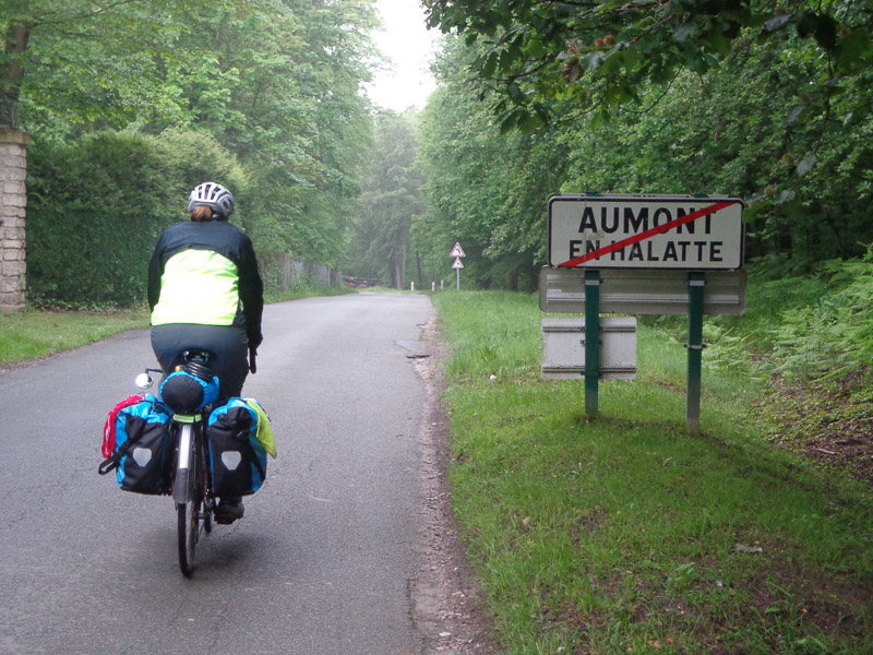
We rode the 6 or 7 kilometers to Creil, a depressing, grey town with tall concrete Soviet-era style buildings. The morning was getting colder, rather than warmer, so we found a boulangerie and holed up there for several hours, even though they didn’t have any wifi.
First, we had chocolate croissants and coffee to warm up. Then, we met Philippe, who spoke some English and Italian. Turns out he’s completely besotted with Italy, and upon discovering that we both have family there he immediately decided we were long lost cousins. Philippe was tremendously helpful, and when he found out we didn’t have any paper maps, he ran to his car and gave us his high quality paper map of the entire country of France and another one of the department Oise (similar to a county). He, like others, told us that camping was still scarce in this area, but we’ll have more camping opportunities in the coastal areas. Thanks for your help and generosity, Philippe! The maps have been invaluable!
Finally leaving Creil around 3:00pm, we rode on some busy thoroughfares, and eventually got back out into the countryside again. We were supposed to turn left on road D12, but there were signs that looked like the road might be closed a few km ahead. It was all in French, however, so we weren’t 100% sure that’s what they said.
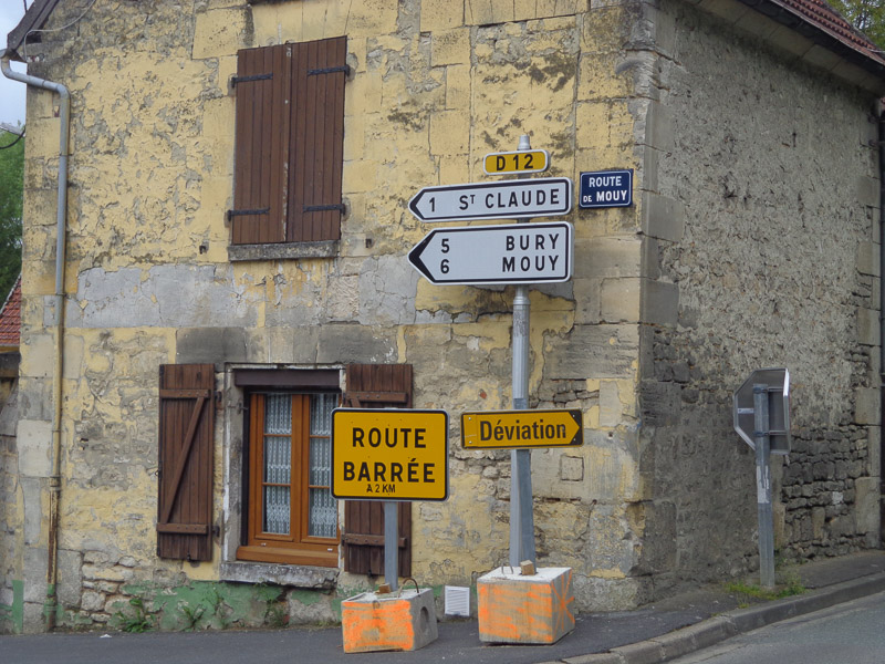
To detour around the potential road closure would at least triple our distance, so we decided not to rely on our questionable French interpretation and to continue forward instead. Alas, a few kilometers in, we saw that the road was, in fact, closed. But, there didn’t seem to be any problems with the road, and there wasn’t really a barrier, so we again decided to take our chances. We reminded ourselves we were on an adventure, and felt smug in our determination to outfox the road closure.
Just a few more kilometers down the road, we saw major construction. But, they appeared to be working on one side of the road only, so we hoped to scootch past the heavy equipment, and continue on our way.
A dump truck driver tried to stop us, but we pretended (not a hard sell) not to understand French. He threw up his hands in exasperation and continued with his load. A few hundred meters past that, we were good and truly stopped by a young man working a hand shovel. The best we could tell, they were laying down new gas line, but as he spoke no English and we spoke no French, we don’t really know. But what was abundantly clear was that we would have to turn around. We tried to ask if the detour a long distance, and he said yes. Again, we’re not sure if he was answering the question we were asking, but the answer didn’t bode well.
We looked at the GPS and it indicated that just a few hundred meters back the way we’d come, there was a tiny country road that went up and over the hillside and would bring us back down on the other side of the D12 road closure. We found the paved side road nestled in the trees, and started struggling up it. Just as the steepness began to flatten out a bit, the road turned a sharp corner and turned to dirt.
We considered our options. The dirt road was very broad and obviously well traveled, so we again decided to take our chances with this road rather than have to go all the way back to the beginning and take the long detour. So, we continued on. What could possibly go wrong?
The road, still climbing, got progressively muddier and muddier. Pretty soon, we were splashing through puddles, sliding in inches-thick, churned up mud, and barely keeping our bikes upright. It was either keep pedaling or topple over in the thick mud with our hundred-pound bikes on top of us. We couldn’t stop, or we’d never get any traction to continue. So up we went.
The entire span of the road was full of truck tire tracks, but it became clear just a little too late that this was heavy equipment, not a farmer’s pickup truck that was using this road. And just as the muddy road flattened out and opened up on a farmer’s field, the road abruptly ended.
We were on a large plateau. Going back down the “road” we’d just climbed seemed impossible. Way out in the distance to our right, we could see the top of a steeple. Just a few tantalizing miles away. So close, and yet so far! We saw a not-as-muddy farmer’s track around the edge of the field, and we both agreed that was our only real option.
And so we turned right and followed the rutted track. The track was by turns muddy and relatively dry, so the going was bumpy and uncomfortable, but except for short moments of stress, we didn’t worry about losing traction or falling over.
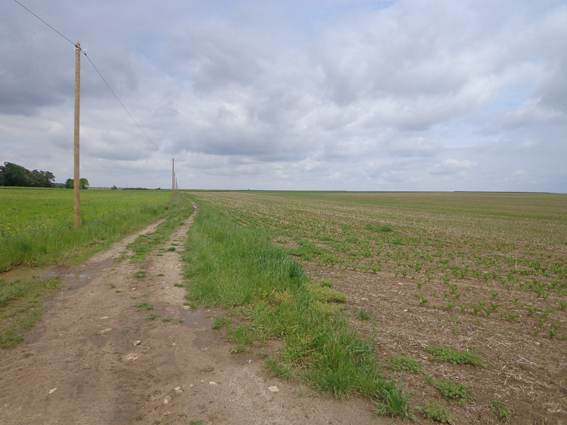
Finally, this track ended in a T. There were telephone lines that paralleled the new track, which gave us hope. So, right or left? Left led into the trees and definitely seemed less well worn. Despite Robert Frost’s encouragement to take the path less traveled, we opted for the more promising route and turned right again.
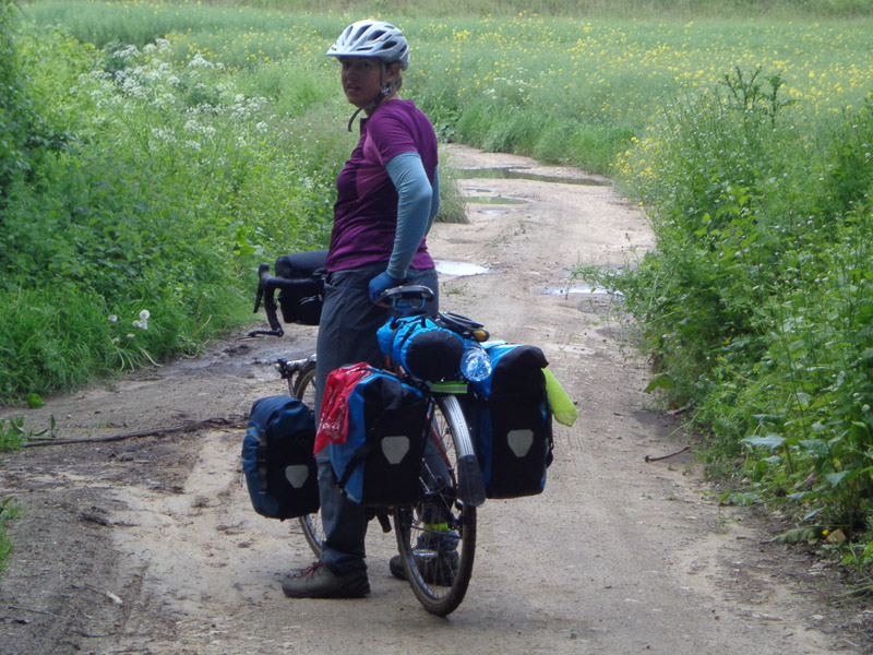
As we continued on this new track, we started getting whiffs of…had they just put manure on the field? The bad odors were intermittent at first, but the stench soon became constant and almost overwhelming. Finally, we came to the end of the field, and our only real option was to go left, down the hill, to what we hoped would finally be the road.
There was a chain link fence along the right side of the rutted double-track path, and what looked like some industrial buildings on the other side of the fence. Julie began to think that maybe there was a wastewater treatment plant there, but it was a very unlikely position for one, being near the top of a hill. And as we all know, sh*t flows downhill. We then saw huge compost piles and heard a bunch of glass being dumped, so we think it must have been a recycling facility of some sort. But whew! What a stinky operation!
We trudged down the muddy path to what we hoped was the road. The path got muddier and muddier, and eventually was submerged in stinky, muddy water nearly up to the bottom of our panniers. We were afraid of what we were rolling our bikes through! Maybe there would be a disinfection station at the bottom of the track. As if!
Anyway, we finally got to the bottom and back out onto the road. Oh what relief! We had both secretly harbored fears that the track would lead in the wrong direction or would eventually become completely impassable and that we’d somehow have to push our bikes all the way back the way we’d come. I honestly don’t know if we’d ever have been able to do it. Thank god we didn’t have to find out!
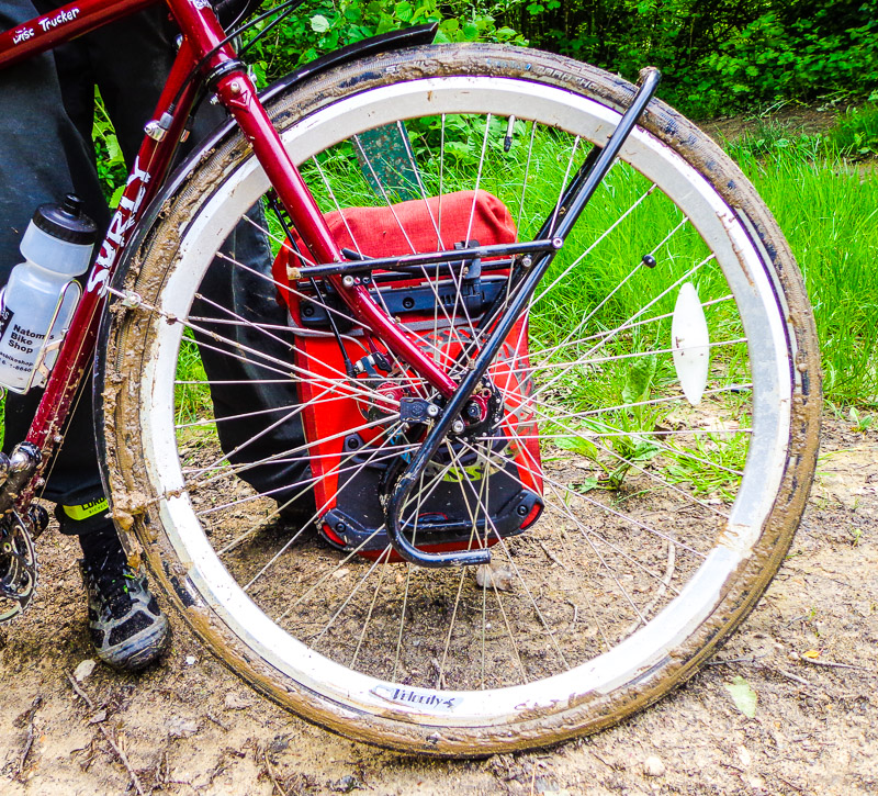
On the main road again, we turned off at the next little village, Bury, and found an extremely nice couple who let us use their hose to wash off the mud that caked our bikes. They spoke no English, so we couldn’t explain to them that we were hosing toxic mud off our bikes and onto their front lawn.
After this experience, we vowed to ONLY stay on paved roads, no matter what the GPS, Google maps, Ride with GPS, or the locals say!
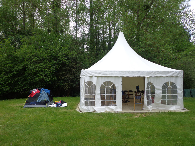
Finally, after 41 hard kilometers (including 15 animal kilometers), we arrived at beautiful Camping du Chateau Vert in the tiny village of Hondainville, exhausted and so relieved to have a home for the night.
