June 7, 2016, Part 1:
Today we left the youth hostel at Boulogne-sur-Mer with sunshine – weak and hazy, but sunshine nonetheless! And because the hostel provided free breakfast, we were able to get out by 9:15 am! After two days of rest, we felt really strong. For the first time, my loaded bicycle wasn’t a gargantuan, unwieldy beast. I felt almost nimble maneuvering it around potholes, up and down the ubiquitous short curbs, or making sudden stops. We both felt like we were finally in shape for this. Even my butt barely hurt when I first sat in the saddle!
We rode north out of Boulogne-sur-Mer along the coastline. Mark gave the TI office the finger as we rode past, and then we promptly forgot about our bad experience. We had our first short climb of the day on the north side of town, riding up the bluff along the coastline. Riding out of town, we saw people out on the beach enjoying the rare rays of sunshine. It felt so good to be rested, and dry, and to have the warmth of the sun on us.
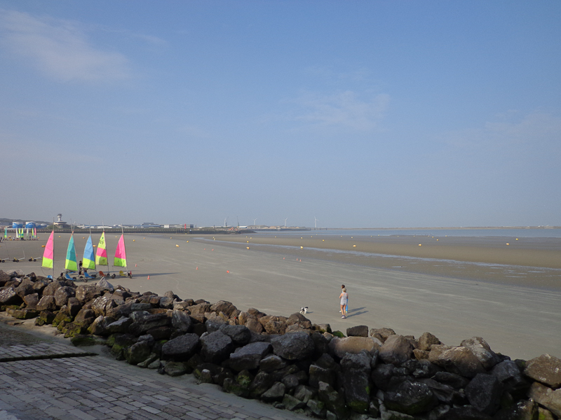
The rest and good weather completely changed our dispositions. We actually felt playful and adventurous, rather than trying to get the day’s ride done with as little discomfort as possible. We stopped numerous times throughout the day to take photos, or to look at things, or to just bask in the weak sun. Hey, sun is sun!
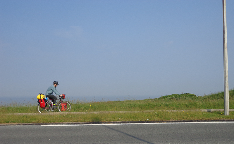
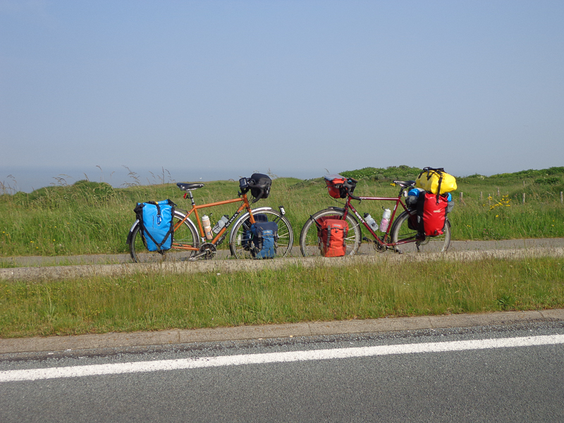
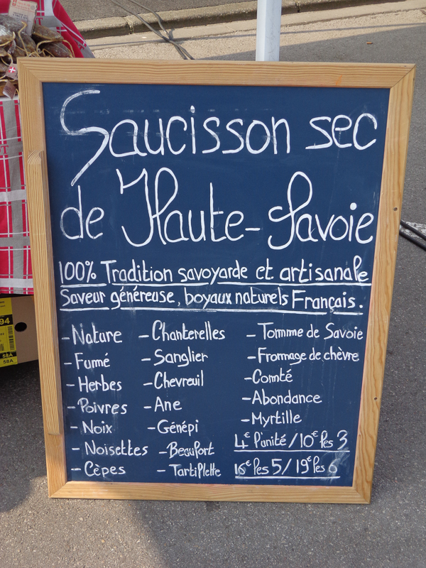
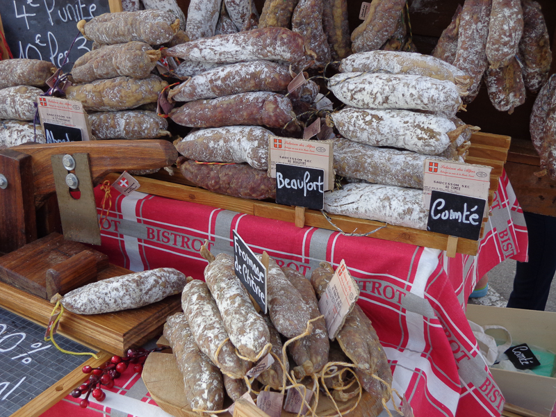
The village just north of Boulogne, Wimereux, was a lively little town, with the first outdoor market we’ve seen since arriving. I’m sure that if we’d ridden through Wimereux on one of our rainy days, it wouldn’t have even registered. Today, however, we saw people out and about, engaged in daily life: shopping, out for a run on the coastline, peddling their wares at the market, waiting for a bus, briskly walking to work, and all the other mundane things people do on a daily basis. It was so heartwarming to see people again!
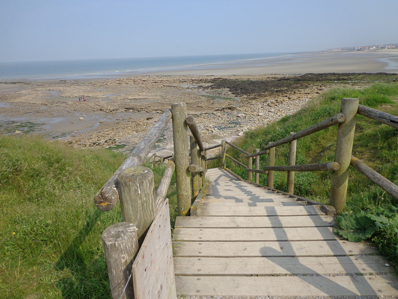
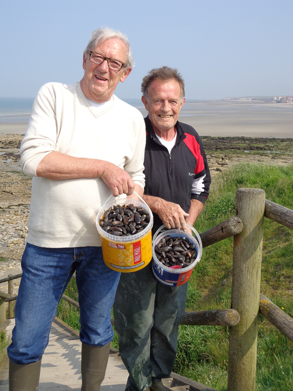
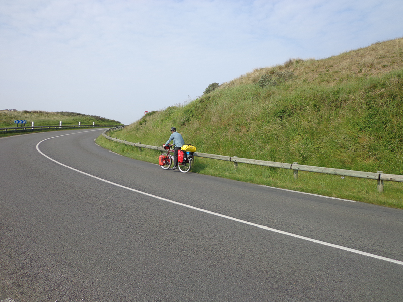
Shortly after Wimereux, I noticed a sign for the EuroVelo 4 route. (EuroVelo routes are a series of long distance cycle routes that the EU is slowly creating. There are about 15 routes in various stages of development.)
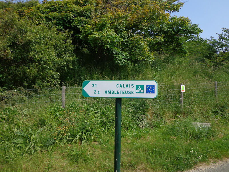
The new navigation system we were experimenting with today (Strava) directed us to continue on the main two-lane road just inland of the coastline. The EuroVelo sign, however, made a sharp turn towards the ocean, behind a gate that barred cars but not pedestrians or cyclists.
On another day, we wouldn’t have had the heart to give this a try. Today, we were both enjoying ourselves so much that we agreed to throw the planned route out the window and follow the EuroVelo signs instead.
The route was easy to follow at first. The private road took us down to the beach, to Fort Mahon (aka Fort Ambleteuse in French). The main gates were open, so we were able to enter the fortification walls, but the building itself was closed.
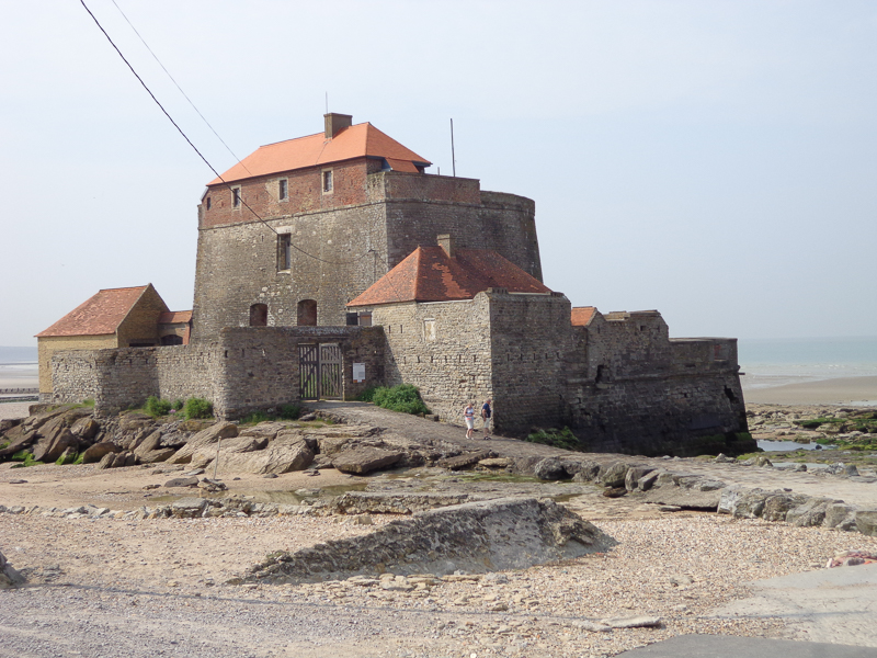
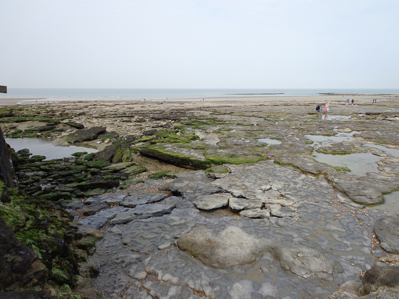
After checking out the fort for a few minutes, we continued following the EuroVelo course. Shortly out of town, the signs abruptly disappeared. Switching to the GPS for navigation, we continued north, but as we swung a bit more inland, it became obvious that we’d lost the Velo route. No matter. We were still having fun.
We were rolling up and down hills all day as our path took us down to sea level and back up onto the bluffs. At one point, no longer on any established route (either the Velo route or Strava’s recommended route), but always continuing in a northerly direction, Mark spied a big “MUSEE” sign (‘museum’) on the side of a ginormous bunker. He had wanted to explore WWII history since arriving in Europe, so we took a detour to the museum.
I waited outside, stretching my tired muscles and watching the bikes while Mark paid and went in. After his quick tour of the museum, we continued into the next town, Audinghen, and stopped for the plat du jour at a nice restaurant there. I had the most delectable fish and Mark had pork. We enjoyed sides of steamed potatoes and sautéed endive, and ended the meal with a coffee each. It was delicious! And as an added bonus, we sat inside, out of the wind, and thoroughly enjoyed our inexpensive lunch (only €12.80/each).
