May 23, 2016
We rode in rain throughout the morning.
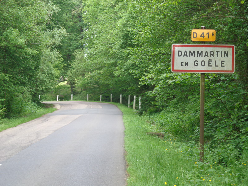
We climbed out of Saint Mard to Dammartin-en-Goele on a nicely paved road, and then continued climbing on a continually narrower and less well paved road out of Dammartin until the pavement ended and the road turned to dirt. Being our first experience with the GPS doing this to us, we thought the dirt road must be a well-traveled road, so we continued.
It quickly became narrower and narrower, then two tracks in the mud, and finally single track. We had no idea where it would lead, but we also had no idea how to backtrack and figure out a new route in the rain without internet, so we pressed on.
We started descending. Thank god we were headed down the hill and not climbing it, because the track was quite steep and with all the rain of the last several days, much too muddy to ascend. It was pretty unnerving, but now that we’d started down, we had no choice but to continue and hope it led to a road.
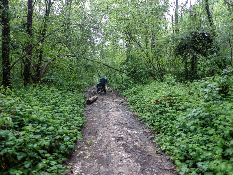
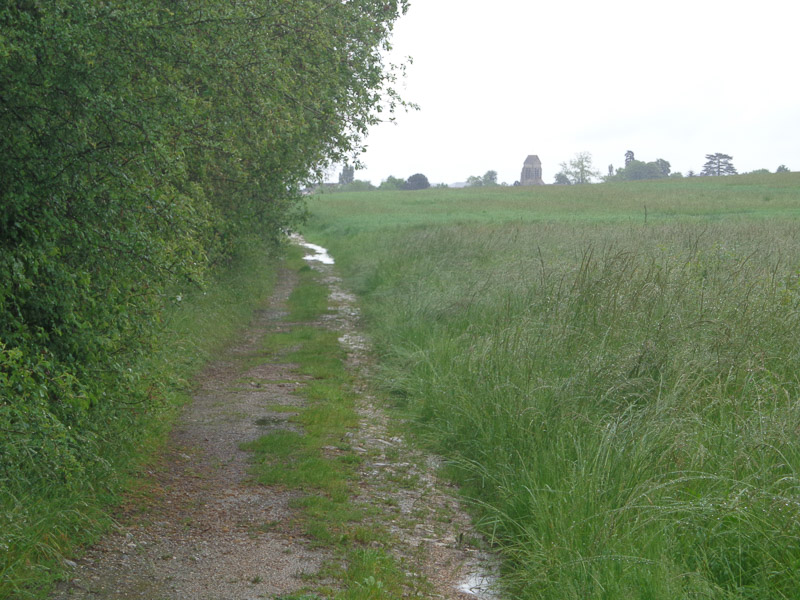
Eventually the track leveled out onto a farmer’s field, became two tire tracks again, and about a kilometer later, we rolled into the back parking lot of an industrial building. We went around the building and arrived on a paved road again. Thank god the facility’s front fence wasn’t locked!
Just a few hundred meters later, the GPS directed us to turn right, off the paved road, and onto a dirt road again! What’s up with that??? When Mark built the route on the GPS, he specifically selected the “bicycle touring” option, not the “mountain biking” option. These muddy tracks would be a bit of a challenge on an unloaded road bike. But fully loaded, weighing nearly 100 pounds apiece, this was hell! What is Garmin thinking, directing touring bicycles on dirt tracks???
With the help Google Maps on Julie’s phone (our only semi-reliable source of internet), and with many false turns, we were able to find our way on paved roads instead of the most direct but sketchy route through farmers’ fields.
Eventually we arrived in Senlis, a relatively large town. We stopped at the beautiful train station to get our bearings. It was still raining…and Julie couldn’t unclip her right shoe from her pedal! She had lost one of the screws holding the cleat in, and the other screw was loose, allowing the cleat to rotate but not unclip from the shoe. Of course, the remaining screw was inaccessible under the cleat. (For those of you unfamiliar with cycling shoes and cleats, trust us. Julie had found herself in yet another pickle.)
Julie had to remove her shoe leaving it attached to the pedal, then remove the pedal from the bicycle, and slowly rotate the shoe several times until it unscrewed itself from the cleat, which remained stuck in the pedal. Photos would have been comical had we taken any, but alas, Julie was hopping around in the rain and the last thing we thought about was photos. You’ll just have to picture it in your own mind. (Luckily, Julie’s pedals are double-sided, e.g., one side is a normal, flat pedal, while the other side clips. Since then, Julie has been riding on the flat side of the pedal. Not ideal, but not a big deal until we hit mountains many, many km from now.)
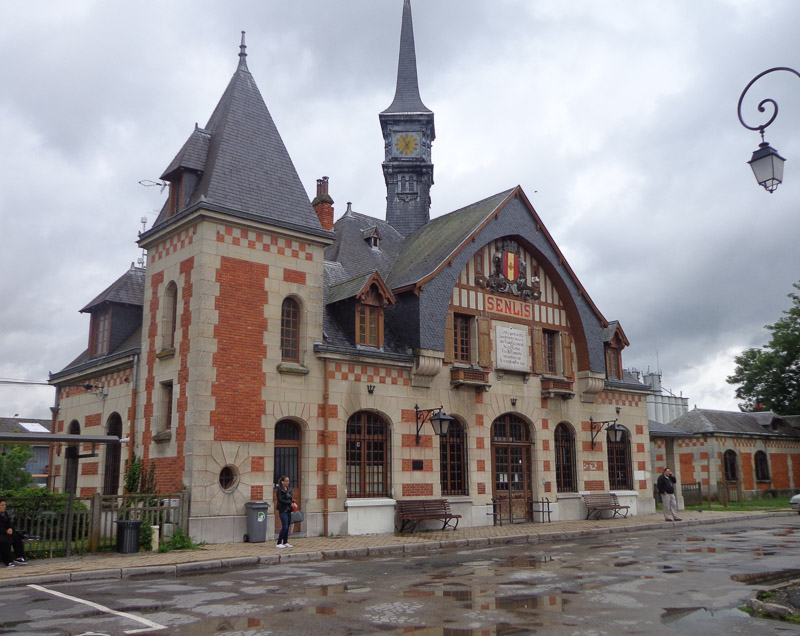
After finally extricating Julie’s shoe from the pedal, we found a bar where we could get out of the pouring rain and warm up with a sandwich and a warm cup of coffee.
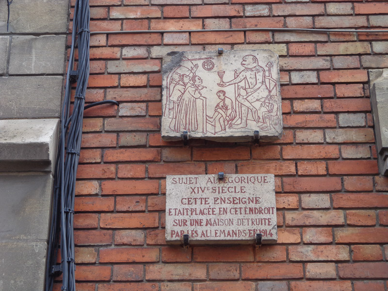
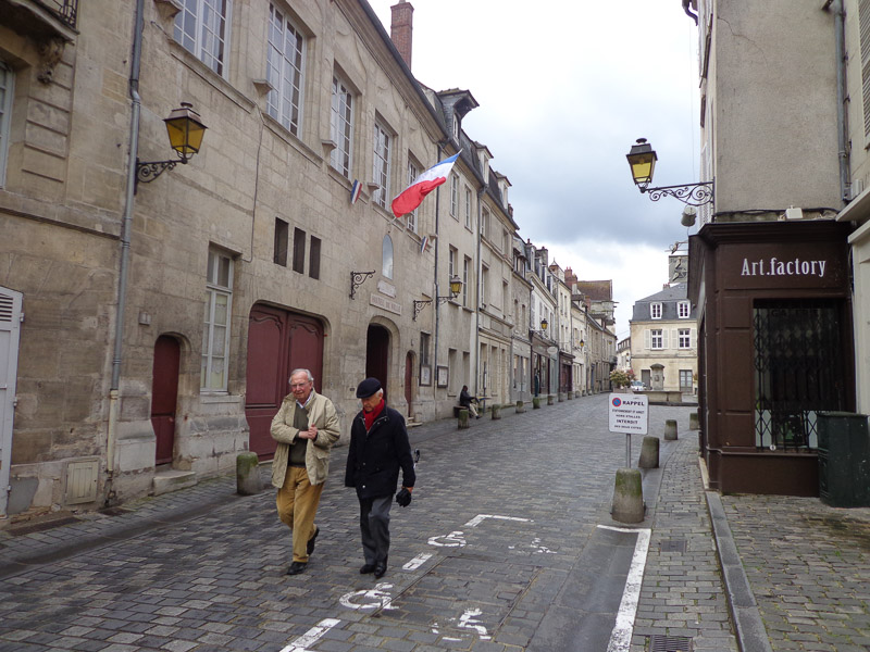
Finally, we braved the now intermittent rain to head towards our campground. Once we arrived in Aumont-en-Halette, however, we discovered that the campground where we’d planned to stay no longer exists, and nobody could direct us to another campground anywhere nearby.
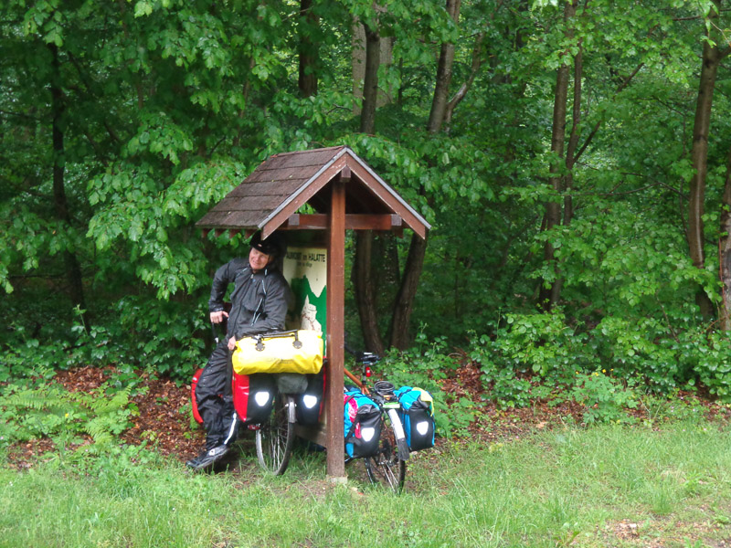
This was a very quiet town. We couldn’t even find a bar or bakery…where do these people get their coffee or baguette in the morning? Given the very nice, and rather large houses behind security gates and alarm systems, and the very few people about, we got the sense that this is where the 1% of Paris (or at least the 10%) go to escape the city on the weekend.
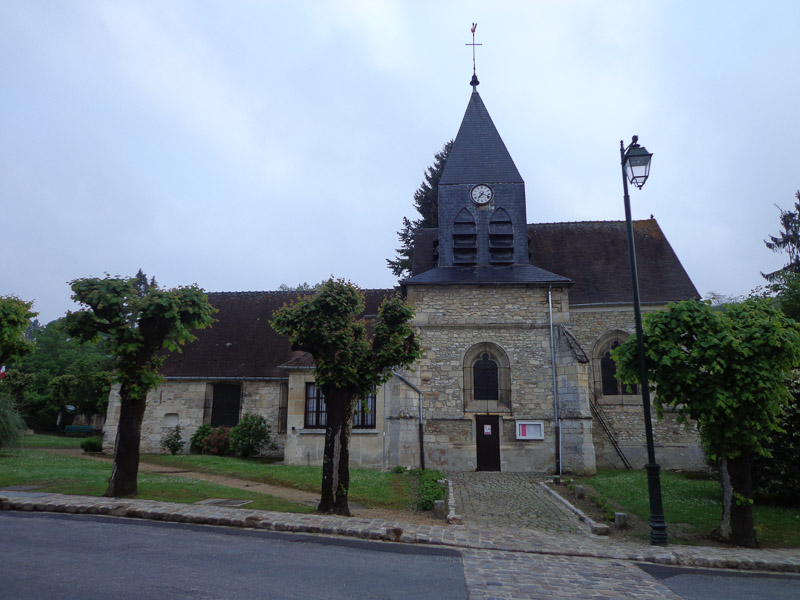
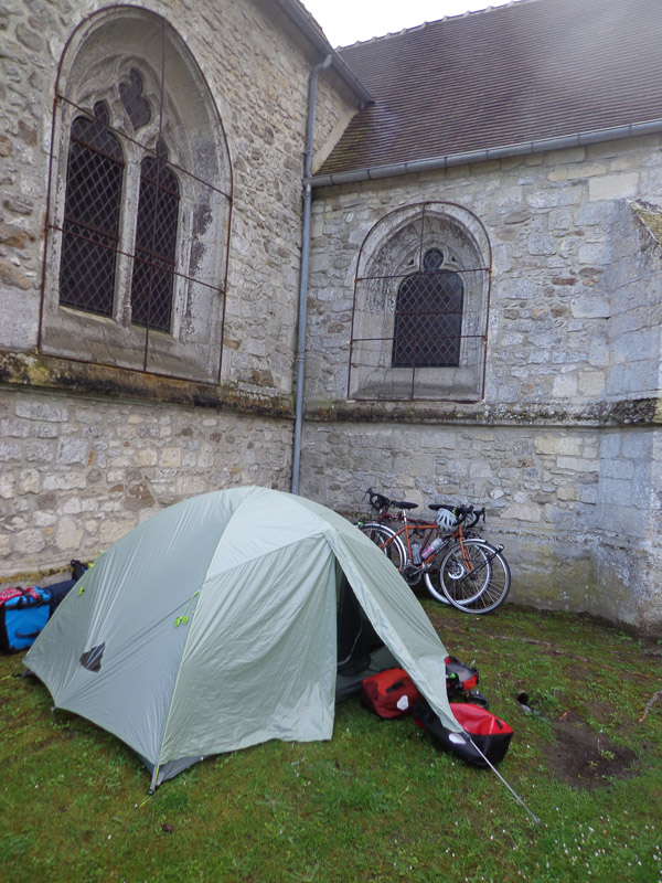
The rain had stopped by now, and with no campground in the area, this was a chance for our first free camp! The local cathedral (every town has at least one) sat at the top of the hill, on the single traffic circle in town. One side of the cathedral faced the road and the nonexistent traffic, one side faced a large parking lot, and the other two were hemmed in by tall, stone walls separating the church from its neighbors. The backside of the church was perfectly hidden! We decided to surreptitiously camp behind the church, nestled in the crook between the transept and the choir. It was the perfect free camp! The church bell even stopped tolling at 10:00pm. Now this is the romance of the road we were envisioning!
After a few false starts, we had well and truly begun our adventure!
